
Atomionics Aims Its Quantum Gravity Sensor at the Ocean

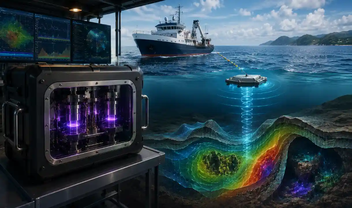
Atomionics wants to map the seabed by reading gravity. The Singapore company has opened a new quantum-sensing hub and is adapting GRAVIO, its quantum gravimeter, to sense the ocean floor and what’s buried beneath it, backed by Enterprise Singapore and the investment arm of the country’s defense agency. The land version already works commercially, and the ocean version is still under development.
How GRAVIO sees underground
According to the August 3 report, every mass bends the gravitational field around it, a little, and GRAVIO reads those tiny variations to work out what’s below. The measurement is quantum. Inside the instrument, a cloud of atoms is dropped into freefall and tracked with pulses of laser light, and from how the atoms fall the machine reads the exact pull of gravity at that spot. It emits nothing and touches nothing, which makes it a passive sensor. Map those gravity signals across an area and a picture of the density below emerges, the voids and the dense ore bodies underground.
On land, this already runs as a product across Asia, Australia, Europe, and the United States. The sharpest proof point comes from an active mine, where GRAVIO worked through blasting and heavy-truck vibration and built a 3D model of the ground that matched drill-hole data to better than 95%, with no extra holes drilled. That figure is Atomionics’ own, though it’s a concrete, checkable kind of claim. CTO Ravi Kumar tied the capability to the stakes. As he said:
“To see beneath the water is to hold an advantage that spans defence, energy, and infrastructure. (…) We are building the ability to secure the cables that carry the world’s data, find the resources beneath the seabed, and know the seafloor before we build on it.”
The ocean part is still ahead
The announcement blurs one distinction. GRAVIO has demonstrated its capabilities on land, but the marine version is under development, and the parties describe the sea collaborations as something they’re exploring. No ocean deployment or result exists yet, so the underwater capability is a direction of travel rather than a demonstrated one. The engineering case is plausible, since an instrument that holds precision through a working mine has a real shot at holding it through the pitch of a boat, though a shot isn’t a result.
The bigger claims are the company’s own. “The largest unexplored territory on Earth,” the ambition of a “living 3D map” of the planet’s subsurface, and the line that the sensor leaves “nothing anyone could detect” are framing and aspiration, worth attributing rather than repeating. What’s real is the backing and the reason for it. Cap Vista, the investment arm of Singapore’s Defence Science and Technology Agency, and MINDEF’s technology directorate partake here because passive subsurface sensing carries obvious dual-use value, and Singapore has unusual stakes beneath the waterline, from its port to the undersea cables landing on its shores.
Turned toward resources and infrastructure, quantum sensing is having a moment. A bill in Congress would put quantum sensors to work hunting critical minerals, and the US military has funded a push to move quantum sensing from lab to field. Related efforts aim the technology at unjammable nuavigation and, in Singapore’s case, at quantum defense planning. Other startups are commercializing it in narrower domains, like watching proteins move for drug research. Atomionics’ bet is that the same physics, pointed at the seabed, opens the least-mapped surface on the planet. First it has to get GRAVIO to sea.